
The temperature will rise to 12 degrees inside, 15 on the coast and 1 degree in the highest mountains, where there will be frost.
Patient low pressure and cold gas mass affect the area, while a patient is expected from Saturday.
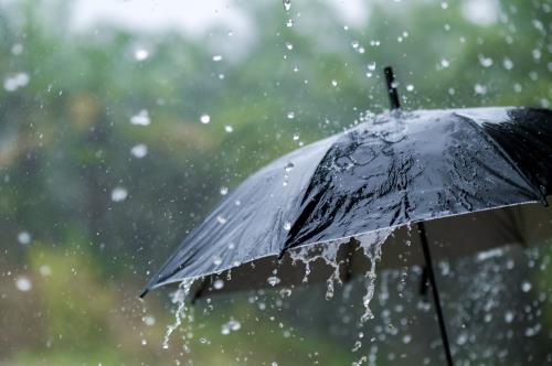
Today, the weather will be partially cloudy and occasionally cloudy, with individual rain and snow expected in the higher mountains. The winds will blow northwest as northeast, initially patients to moderate, 3 to 4 beaufort and gradually moderate to strong and transiently strong, 4 to 5 beaufort. The sea will generally be agitated. The temperature will rise to about 12 degrees inside, around 15 on the coast and about 1 degree in the highest mountains, where frost will prevail locally.
Tonight, locally increased clouds will be observed, which is not excluded to give an individual slight rain and possible snow to the higher mountains. The winds will continue to blow mainly northwest as northeast, patients to moderate, 3 to 4 beaufort and locally average to strong, 4 to 5 beaufort. The sea will generally become a little agitated until troubled. The temperature will reach about 4 degrees inner, about 6 on the coast and about minus 4 degrees in the highest mountains, where there will be frosts locally.
On Friday, the weather in most areas will be mostly cloudy, while local increased clouds will be observed in the mountains, which in the mountains are not excluded to give an individual slight rain.
On Saturday and Sunday, the weather will be mostly cloudy, although there will be locally increased clouds.
Temperatures until Sunday will gradually rise to rise to be close to the average climatic values of the time. The height of the snow at the time of the release was 3 cm in Troodos Square and 4 cm in snowstorms.